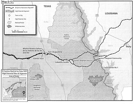
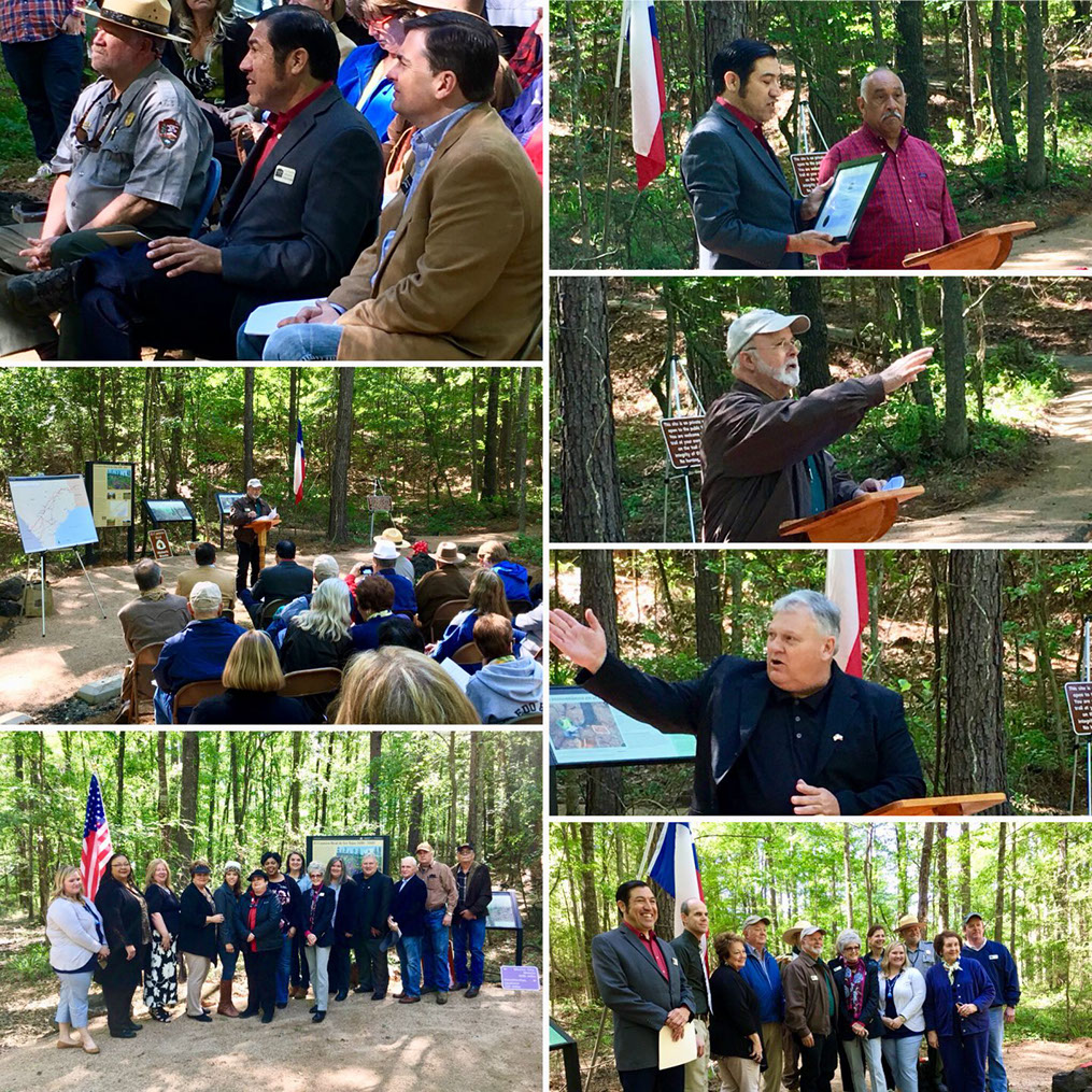
The El Camino Real de los Tejas, or Highway 21 as we call it winds it’s way through East Texas just as it did more than four centuries ago. The scenic route through Sabine County will take you to the original “Wagon Swales” which are centuries old wagon tracks discovered adjacent to the current route. The Lobanillo Swales are now located in a scenic park that opened this time last year, with a walkway near Geneva, Texas. Stop and take the tour it is definitely a one of a kind adventure. The parking space, and trail is located on the Highway 21 West route on the San Augustine/Sabine County outskirts.
The El Camino Real or King’s Highway is one of the oldest continuously traveled trails in the United States. Before being designated in 1691 as the King’s Highway or Royal Road by the Kings Council in Spain, the trail was being used by Native Americans and numerous early explorers.
According to the National Park Service; “the El Camino Real de los Tejas National Historic Trail became part of the National Trail System on 18 Oct 2004. Approximately 2,580 miles of trail extends from the Rio Grande River near Eagle Pass and Laredo, Texas to Natchitoches, Louisiana”. Obviously, it is not 2,580 miles from the Rio Grande to Natchitoches, but along most of the trail there are alternate routes chosen because of better terrain or weather related difficulties with the original trail that accounts for the total mileage.
In January of 2015, a funding request was presented and approved by the Sabine County Tourism Committee to assist with the signage of 15.4 miles of the trail along State Hwy 21 through Sabine County. This Phase 1 project was completed in November 2015 with 17 signs placed approximately every two miles, one facing west and one facing east beginning at the Pendleton Crossing through Sabine County to the San Augustine County line. The Phase 1 project covers the southern route and part of the northern route of the trail in Sabine County.
In the future Phase 2 of this project will sign 3.5 miles along the King Road in the Geneva area that was part of the original southern route. As part of Phase 2 the total length of Hwy 276 (4.5 Miles) and the Carter’s Ferry Road (8 miles) will be signed as part of the northern route through Sabine County. There is approximately 25 miles total of the southern and northern route in Sabine County counting the part under the waters of Toledo Bend Reservoir.
Phase 3 of the project will sign important historic sites along the trail in Sabine County including the Pendleton Crossing, the Gaines-Oliphint House, Milam, Los Borregas Camp Site, Geneva, Gil Y’Barbo’s El Lobanillo Horse Ranch, Juan Ignacio Pifermo Ranch, the Wagon Swales and McMahan’s Chapel. Most of these sites are already signed with Texas Historical Commission signage.
In 2014 and 2015, the trail was signed from Natchitoches, Louisiana, Natchitoches Parish, through Sabine Parish to the Sabine River at Pendleton. All of the signage is National Park Service approved and is uniform from Natchitoches to the Rio Grande River in Texas. Sabine is the third county in Texas to sign the trail.
Sabine County, one of the original 23 Texas counties, established in late 1836 is the only one of the 23 that never had a boundary change. There are a 100 historical markers memorials, National Register of Historic Places markers, Antiquities Landmarks, historic cemetery markers, subject markers, Texas State Centennial markers, War Memorials, Daughters of the American Revolution markers, Columbia space shuttle markers, Daughters of the American Colonist, Society of Colonial Dames and several privately funded markers in Sabine County.
For more information contact the Sabine County History Center at 235 North Texas Street, between the jail and post office, or call (409)787-3132.